Morocco forest fire risk map updated for July 6 to 12
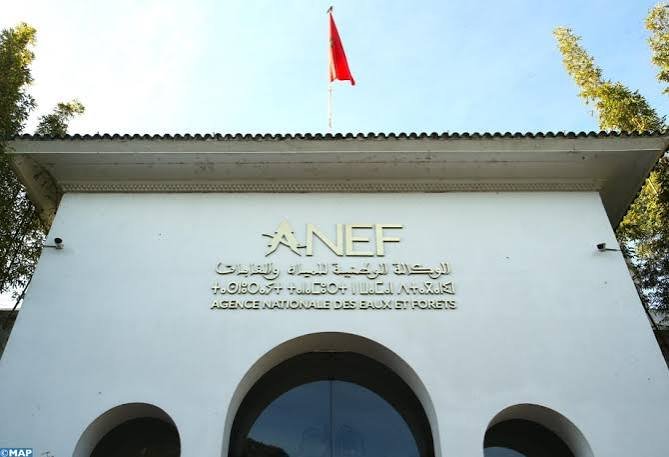
Morocco’s National Agency for Water and Forests (ANEF) has updated its forest fire risk bulletin for the period from July 6 to July 12, 2026. The assessment identifies the areas most vulnerable to wildfires across the country and is based on scientific forecasting models designed to support prevention and response efforts.
The forecast incorporates several factors, including forest characteristics, vegetation combustibility, fire susceptibility, and a range of topographical and climatic indicators. These elements help authorities evaluate wildfire threats and allocate resources more effectively during the peak summer season.
According to the latest ANEF projections, an extreme forest fire risk has been recorded in the provinces of Berkane, Nador, Taourirt, Guercif, Ifrane, Taounate, Taza, Khénifra, Al Haouz, Essaouira, Agadir-Ida-Ou-Tanane, and Taroudant.
A high risk level has been identified in Chefchaouen, Fahs-Anjra, Larache, Ouezzane, Tanger-Assilah, Tétouan, M’Diq-Fnideq, Jerada, Oujda-Angad, Fès, Kénitra, Rabat, Salé, Skhirate-Témara, Azilal, Béni Mellal, Chichaoua, and Midelt. Medium risk conditions apply to Al Hoceïma, Driouch, Meknès, El Hajeb, Boulemane, Sefrou, Sidi Kacem, and Khémisset.
The forest fire risk map serves as an early warning tool for authorities and residents as temperatures rise during the summer months. ANEF urged people living near forested areas, holidaymakers, visitors, and workers operating in forests to remain vigilant and follow preventive measures aimed at reducing the likelihood of fire outbreaks.
The agency also called on the public to immediately report any signs of smoke or behavior that could trigger a wildfire. Rapid reporting, ANEF said, can help emergency services respond quickly and limit potential damage to forests, property, and surrounding communities.